Before you buy
Flood risk in the Nambucca Valley
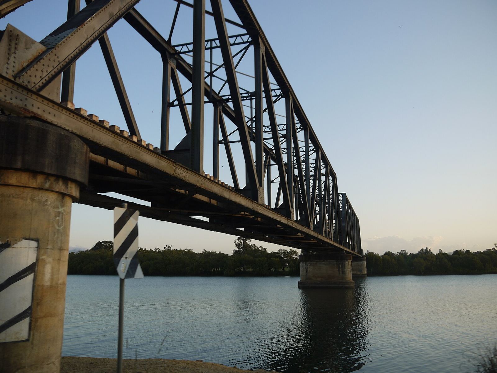
The North Coast railway bridge over the Nambucca River near Macksville. Photo: Advanstra, CC BY-SA 4.0
The Nambucca River drains one of the smallest catchments in NSW, and it rises fast. Macksville's main streets have flooded many times since the 1890s. Here is what the record shows and where to look up the official flood maps for a property.
Why the valley floods
The ABC noted in 2021 that the Nambucca catchment, about 1,400 square kilometres, is one of the smallest in NSW. A small, steep catchment means heavy rain reaches the river quickly: on Saturday 20 March 2021, 350 mm of rain fell at Nambucca Heads, against a March average of 161 mm, and the SES told residents of Macksville to evacuate that morning.
The flood record
| Year | What happened |
|---|---|
| 1950 | The river at Macksville reached 3.4 metres, described by the ABC as a one-in-50-year flood. |
| 2009 | Five floods hit the Nambucca Valley in one year. The SES had a consultant compile the flood marks and rainfall from the March and April event, from Bowraville to the ocean. |
| 2021 | On 20 March the river at Macksville passed its major flood level of 2.6 metres by 4pm. The ABC reported it had passed that level nine times since the 1890s. |
| 2025 | In May, the rising river flooded River Street in Macksville, the ABC reported. |
The official flood maps
Nambucca Valley Council's Nambucca River and Deep Creek Floodplain Risk Management Study and Plan, prepared by WMAwater, used a computer model to work out how far and how deep flooding goes along the Nambucca River, Deep Creek and Warrell Creek. On its flood information page the council publishes:
- maps and videos of a 1% AEP flood (a flood with a 1 in 100 chance of happening in any year) for the Nambucca River and for Deep Creek
- a 1% AEP flood hazard classification map
- the full Flood Risk Management Study and Plan
A 1% AEP flood is not a once-a-century event you can wait out. Over a 30-year mortgage, the chance of at least one such flood is about one in four.
How to check a property
- Look at the council's 1% AEP maps for the river or creek nearest the property.
- Read the planning certificate. In NSW the section 10.7 planning certificate, which comes with a contract of sale, says whether flood-related development controls apply to the land.
- Check the zoning and overlays on the NSW Planning Portal's Spatial Viewer.
- Ask about insurance early. Get a home insurance quote that includes flood before you commit.
- Ask the neighbours where the water came up to in 2021.
Nambucca Valley Living cannot tell you whether a particular street is safe. Use the council's maps and documents, and ask the council directly at council@nambucca.nsw.gov.au.
Common questions
Is Nambucca Heads prone to flooding?
Parts of it are. Land near the river, Deep Creek and the low-lying foreshore can flood in a large event. Check the council's 1% AEP maps for any address.
Does Macksville flood?
Yes. The river at Macksville passed its major flood level of 2.6 metres nine times between the 1890s and 2021, peaking at 3.4 metres in 1950, and flooded River Street again in May 2025.
Where is the Nambucca Heads flood map?
On Nambucca Valley Council's Flood Information page, with the 1% AEP flood maps for the Nambucca River and Deep Creek.
Sources
- Nambucca Valley Council, Flood Information (Nambucca River and Deep Creek Floodplain Risk Management Study and Plan)
- ABC News, NSW floods unmatched in scale and rainfall, but history shows there have been worse (26 March 2021)
- NSW Flood Data Portal, Compilation of flood marks for the March/April 2009 flood event (Nambucca Shire Council)
- NSW Flood Data Portal, Nambucca Valley Flood Plain Management Study (1981)
- ABC News, Macksville street inundated as Nambucca River rises (22 May 2025)
- NSW Planning Portal, Spatial Viewer
- NSW Planning Portal, Online section 10.7 planning certificate service
- Port Stephens Council, Planning certificates (a section 10.7(2) certificate is mandatory in a contract for sale and covers flooding)